Map Skills: Recognizing Physical Features
0.0/ 10 0 votes 1970-01-01 0h 11m 0 popularity
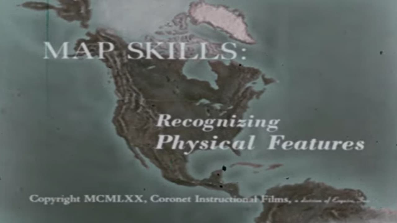
Physical features such as gulf, peninsula, island, etc, are defined and basic principles of using colors to show elevation are illustrated with models.
Physical features such as gulf, peninsula, island, etc, are defined and basic principles of using colors to show elevation are illustrated with models.